
PRIVATE PROPERTY · BAJA CALIFORNIA SUR
About 1,832 acres of
private land.
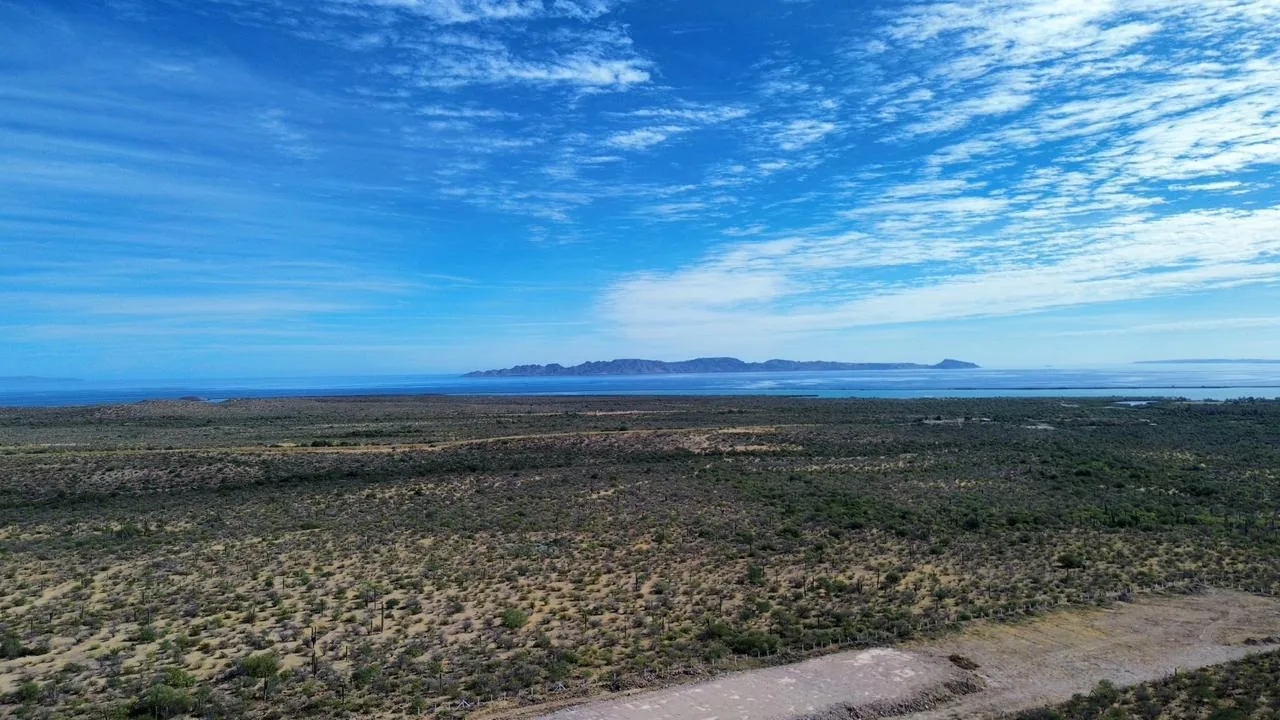
Project San Lucas presents a privately owned 741.24-hectare property in the municipality of Mulegé, Baja California Sur, beside the community of Ejido San Lucas. The cartographic plan records the area.
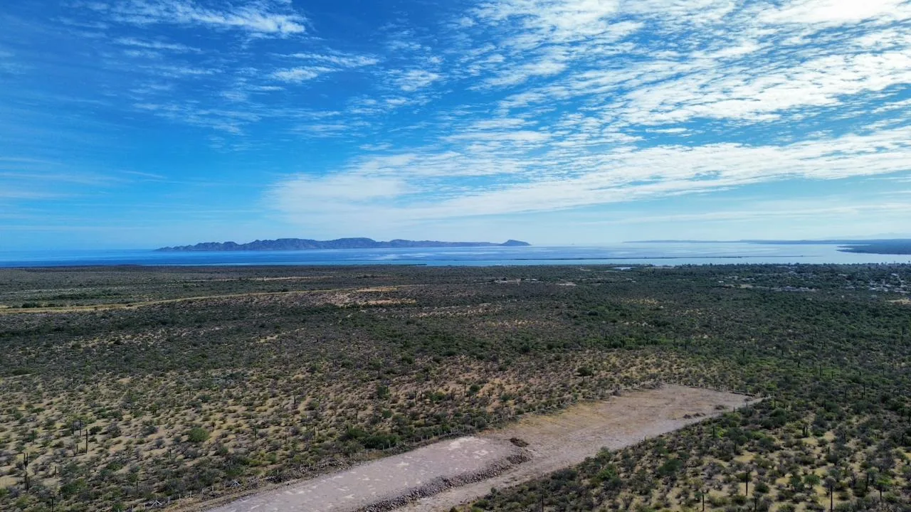
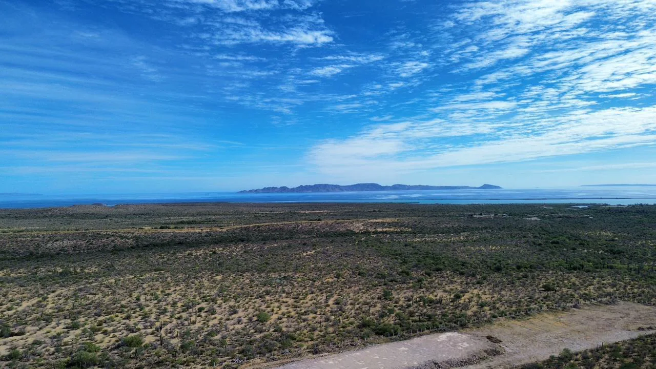
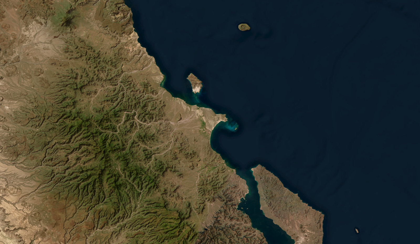
Aerial view of the regional surroundings.
01 / THE LAND
Area and access
to the land.
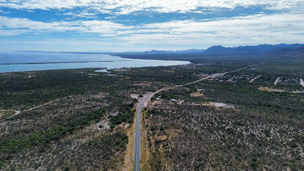
The plan records the area and boundary; aerial views and the map show the property in its regional setting.
A dirt road suitable for conventional vehicles; access to electricity and potable water networks.
AREA COMPARISON
Compare 1,832 acres with three mapped landmarks.
Select a landmark to see its mapped footprint beside the property.
The local map could not load. The cartographic plan still records the property area and outline.
The outline is not cadastral certification. Central Park’s silhouette is fitted inside only as a visual aid; it is not to scale.
Local vector map: © OpenStreetMap contributors · Protomaps
02 / PHOTO GALLERY
The Mulegé landscape.
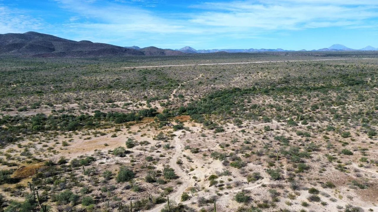
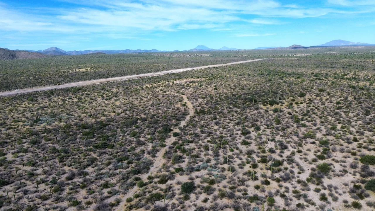
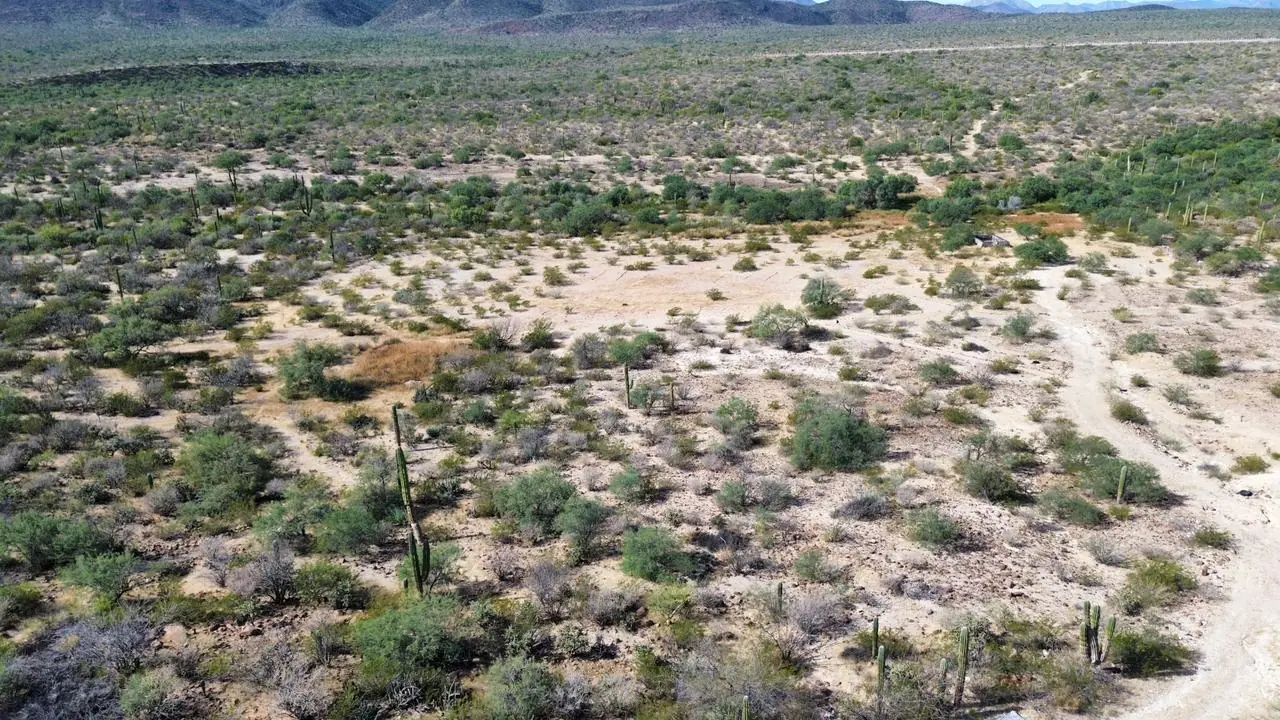
Aerial views and close details of the region’s desert landscape.
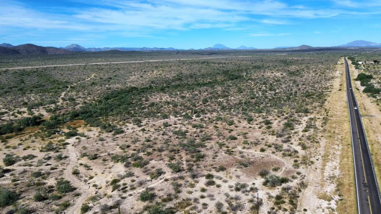
The landscape from above.
A selection of aerial views of the regional landscape.
The footage shows the desert landscape, roads and regional surroundings; it does not by itself trace the property boundary.
03 / LOCATION & SURROUNDINGS
The land and its surroundings.
Explore the coastline, nearby towns and regional landmarks.
Loading map…
Places
Ochre outline: property · Dots: places · Circle: reference access. Distances are approximate; the map does not certify boundaries, access or services.
Between desert and gulf
Santa Rosalía to the north, San Bruno to the south and San Marcos Island off the coast help place the property in its regional setting. Select a town or regional destination in Places to see its location and approximate road distance from the reference access.
04 / OPPORTUNITIES
Opportunities for the land.
-
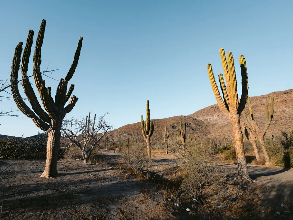
Nature tourism
In the region, mountain slopes, ravines, open coast, trails and an arroyo could inform proposals for guided outings and desert wildlife watching.
-
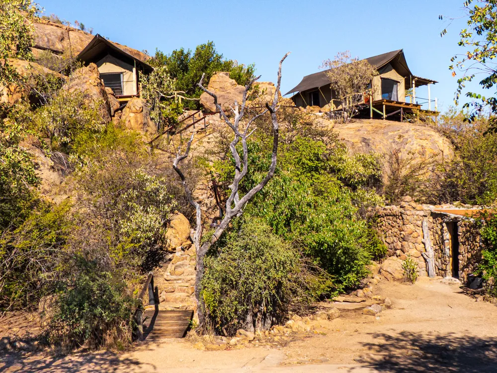
A vacation complex
The idea is for low-scale lodging in a desert setting. Operating it would require services that are not available on the property today.
-
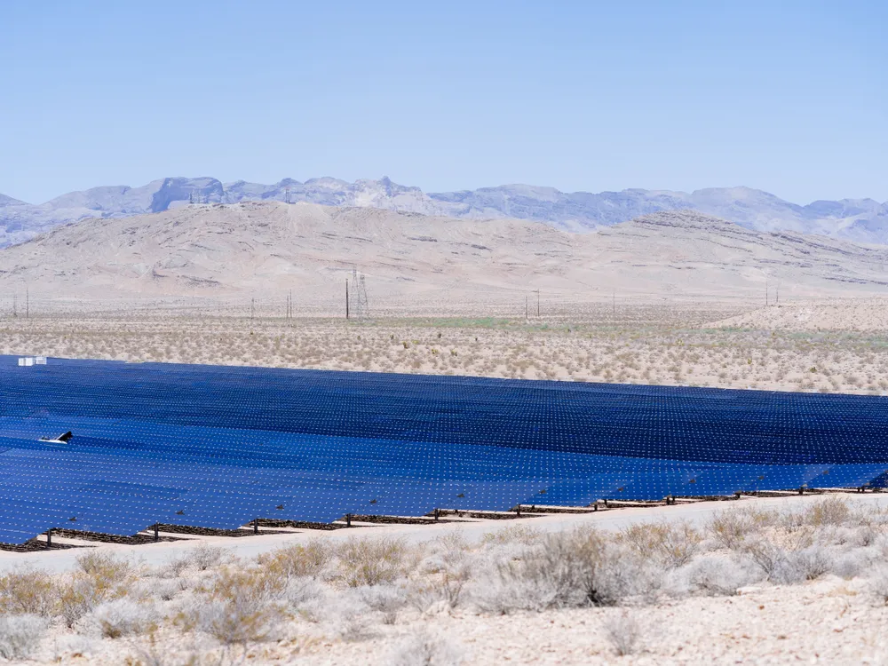
Solar energy
A project would first need to assess the solar resource, grid interconnection and required permits.
-
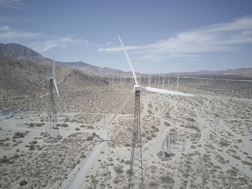
Wind energy
A wind project would require technical studies, grid interconnection and permits.
05 / CARTOGRAPHIC PLAN
The property
plan.
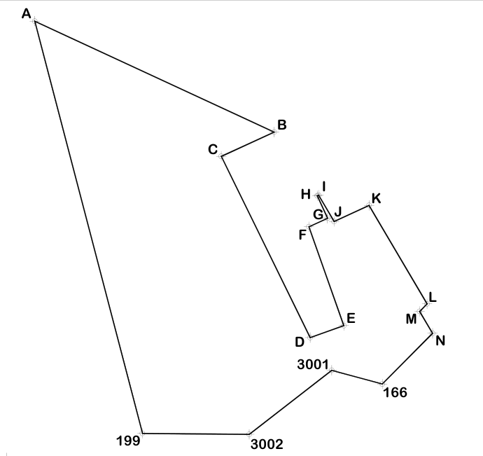
The cartographic plan records 741.24 hectares (about 1,832 acres) and a 1,118.788-meter boundary (about 3,671 ft) along the road right-of-way.
Access via a dirt road suitable for conventional vehicles.
06 / INFORMATION
Property
information.
See the property area, access and location details above.